

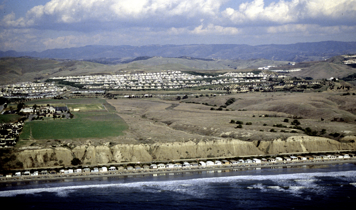
Capistrano Shores
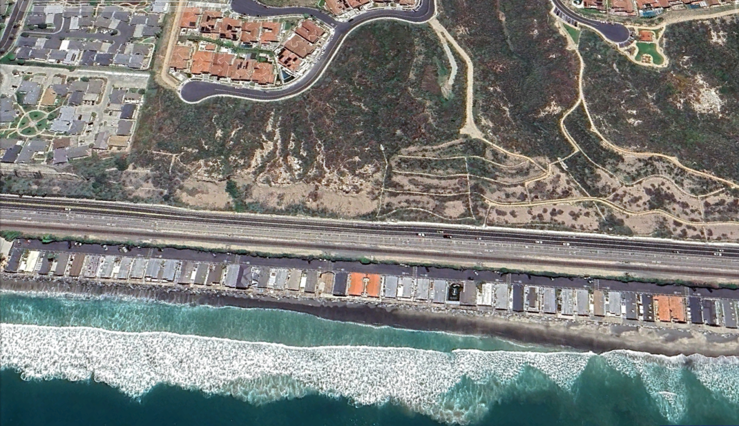
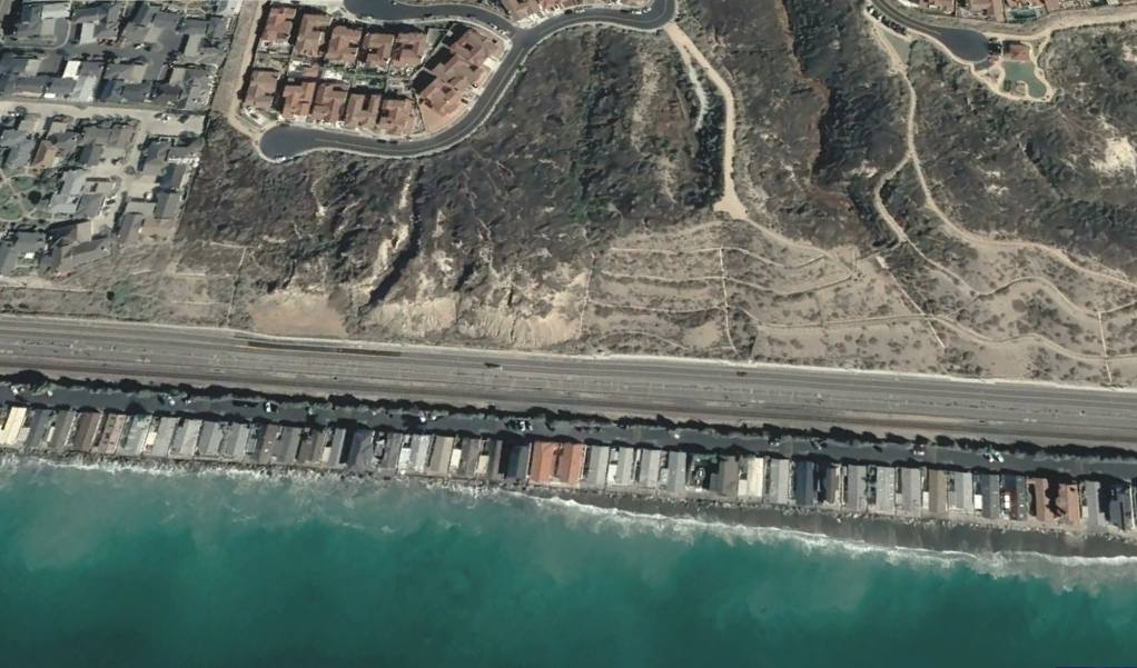
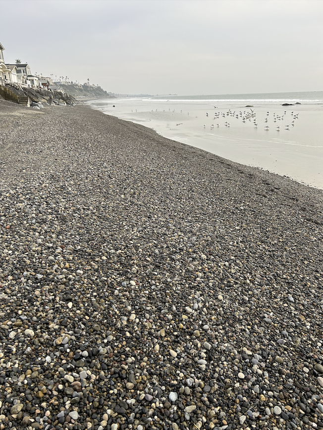
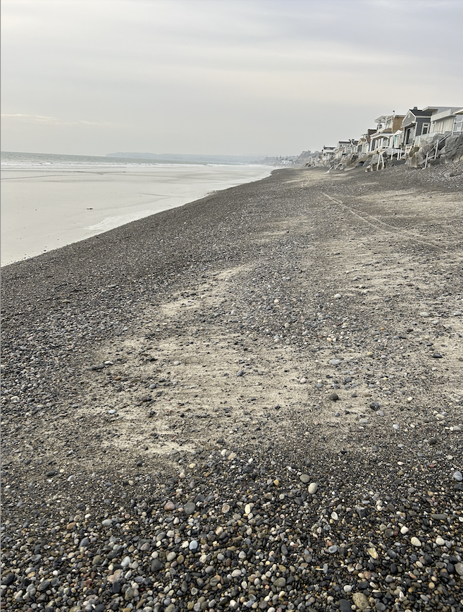
Capistrano Shores is a privately-owned beach and represents the only location in San Clemente where homes are directly threatened by coastal erosion. SEDIMENT CHARACTERISTICS: The remaining wet sandy beach is composed of about 50/50% sand and cobble, with the percent of cobble increasing southwards towards the discharge point of Segunda Desecha Canada Creek (North Beach storm drain). The foreshore is relatively gently sloping compared to other areas in San Clemente. Offshore, there remains enough sand to form sand bars. INFRASTRUCTURE: Approximately 100 homes have been built on the beach and are currently under threat by being undermined by wave action. Additionally, damaging storm waves overtop the west side of the homes. UNIQUE CHALLENGES: This is the only stretch of San Clemente's coastline where homes are built seaward of the rail line. PUBLIC ACCESS: Before 2020, lateral public access existed below mean high tide elevation. At this time, lateral access is only possible during extreme low tides. SURF RESOURCES: Joe can you add this in? The images below illustrate the evolution of Capistrano Shores beach, which remained very stable from 1979 through 2010.

Capistrano Shores 1972
Capistrano Shores 1989

Capistrano Shores 2004
Capistrano Shores 2017
Capistrano Shores 2021

Capistrano Shores 2023
The image below illustrates an extremely narrow beach in 2001 (blue line) and the almost complete loss of beach by 2022 (black line).

Below, data from UC-Irvine demonstrate the gradual loss of beach width 1995-2021. The beach always varied greatly in width depending on the season. (this segment is just south of Capistrano Shores trailer park).

Gallery of historical photos from Capistrano Shores beach prior to 2015. (these are place-holders, need to get better ones, maybe about nine total).


Gallery of recent photos from Capistrano Shores beach.
December 2023, looking south
December 2023, looking north
